

By Mason Smith
Montrose’s landscapes, agriculture, and everyday life depend deeply on weather and environment. Here’s a closer look at what makes our climate distinct, the stresses our region is under, and what local action can help sustain our water, wildlands, and quality of life.
Climate & Seasonal Rhythms around Montrose
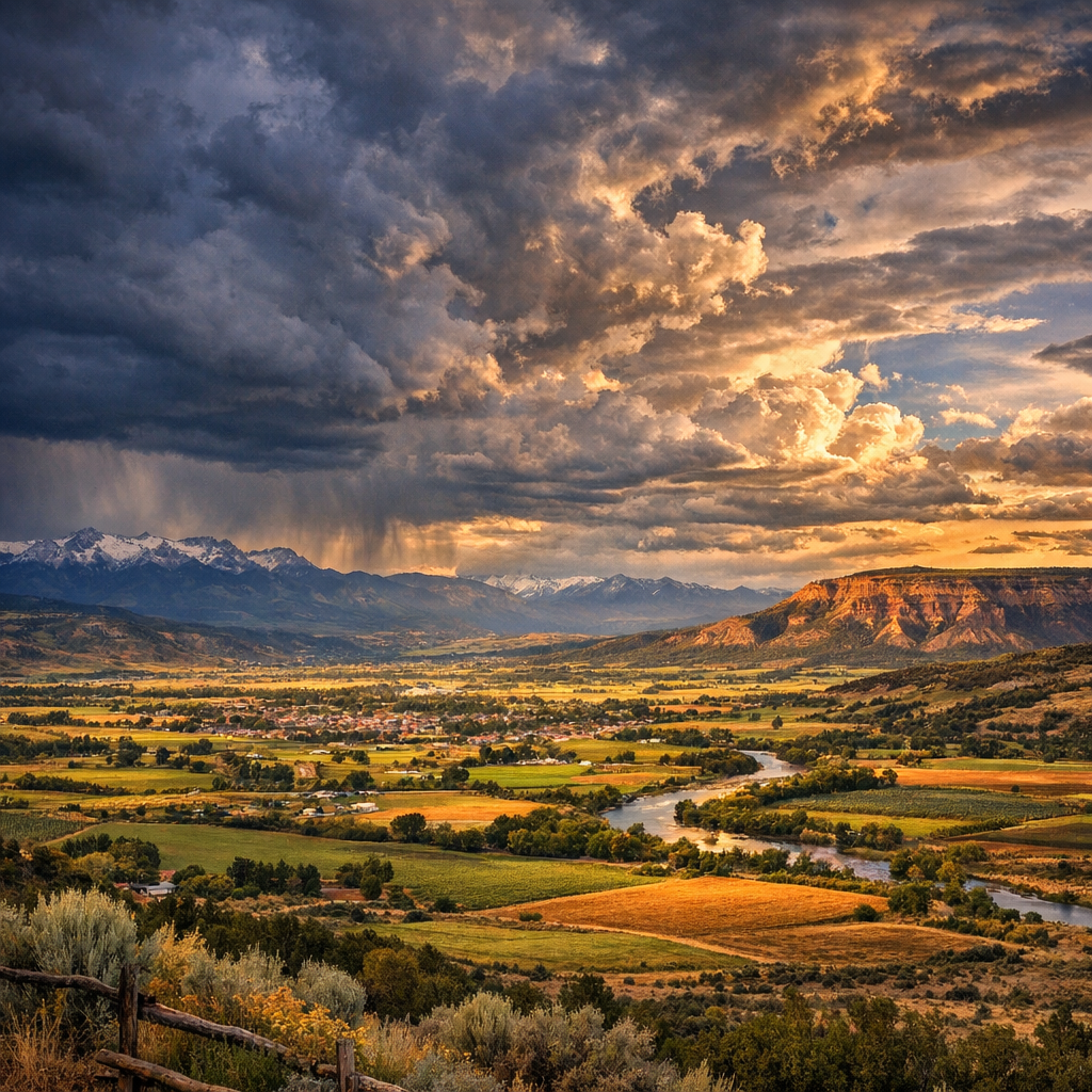
Located in the Uncompahgre Valley at about 5,800 feet in elevation, Montrose has a semi-arid climate with roughly 240-250 sunny days per year. Summers tend to be warm and dry, with average daytime highs in July reaching into the upper 80s°F and cool nights dropping into the 50s°F. Winters are mild compared to higher elevations: cold nights, occasional snow, but generally plenty of sun even during colder months.
Precipitation is low overall — most rain arrives via afternoon or evening thunderstorms between late spring and late summer. Snowfall starts around November and tapers off by March, but major snow buildup is uncommon in the valley itself. The snowpack in nearby mountains matters more than valley snow when it comes to water supply downstream.
Drought, Water Supply & Agriculture
Despite dry weather being part of normal seasonal patterns, Montrose has seen periods of serious drought, especially when snowpack in the Gunnison and Uncompahgre basins is low. Low snowpack reduces runoff into rivers and reservoirs, which impacts farmers, ranchers, and water users across the valley.
For example, agricultural water deliveries in some areas have been cut — sometimes by half — to reflect shortfalls. Reduced irrigation not only challenges farm operations, but also affects the landscape, habitat health, and local economies. Municipal supplies have held up reasonably well so far, but storing (and conserving) water remains critical year to year.
Wildfire Risk & Landscape Pressures
Montrose County recently adopted updated wildfire resiliency standards. Properties will need defensible space (cleared zones around structures), and new or rebuilt buildings must meet “structure hardening” rules. These adoptive measures aim to lower fire risks in forested and edge-wildland zones.
Noxious weeds and invasive species also threaten native biodiversity and raise fire risks. Maintaining healthy watersheds—through soil care, vegetative cover, and restoration—helps reduce erosion and sedimentation, especially during heavy rainfall or runoff events.
What Locals Can Do: Water Use & Stewardship
Even when mandatory restrictions aren’t in place, individual actions make a difference. Simple things like repairing leaks, installing water-efficient fixtures, choosing drought-tolerant plants, and limiting lawn watering during midday heat can all add up.
On a policy and community level, recent city and county plans emphasize low-impact development practices, limiting non-essential turf in new landscapes, and educating residents about the connection between everyday water use, seasonal weather patterns, and long-term climate-related risks.
Looking Ahead: What to Watch
- Snowpack in nearby basins each winter — a big factor in our water supply.
- Reservoir levels, especially during dry summers.
- Wildfire risk zones under changing climate and land-use pressures.
- Local water policies and building codes related to conservation and resilience.
- Community engagement in environmental planning — from noxious weed control to watershed restoration.
Weather always shapes life in Montrose, from the fields to our homes. By understanding the climate rhythms we share, and stepping up where we can, we help keep our valley thriving.